The following article are my thoughts and opinions on the subject of GPS & Mapping Systems

I would have to say my interested in the GPS (Global Positioning System) equipment started in or around 1998 after I started to work for a large Sporting Goods Company in the Portland Metro Area in Oregon.
This will be a two part (2) article about GPS Products and then about Topo (Topographical) mapping that is designed for hunters, hikers, walkers, fishermen and anyone else that might use a GPS in the great outdoors of the U.S.A.
Over the course of many years of working with GPS products I have come to the conclusion of what I feel is the best GPS products to use in the field. Now this is my opinion and may not be everyone’s opinion!
Having known many small private plane owner pilots, they all seem to have one GPS product system that they rely on. I will tell you it is GARMIN and be truthful about it.
I have had the opportunity to try every large name GPS products out there that have Topo mapping that is their branded line of mapping. There are many good GPS products out there, but they are not the best!
I want you to think about support, updates, ease of putting in waypoints, transferring waypoints to and from the computer! Garmin is by far the easiest that I have worked with. With Garmin one can zoom in to about 80’ and that is great when you have detail TOPO (Topographical) mapping to go with it.
As for support it is the best out there via the net or on-line, as I have used both and the last time when I could not get it done on my own, I called support and actually got tech support in my local state, which meant a lot when I was communicating my problem.
Another item of importance is that you need a GPS that has a high sensitivity internal antenna and WAAS system. It also needs to be a colored screen vice black and white. It should have capabilities for an SD Micro Card or have enough internal memory. Much of our hunting, hiking or exploring is done in dense timber, or in areas that there might have a canopy. My latest GPS Garmin Montana will work inside of my office building.

Most of my hunters that I help did not realize that Garmin has a free software download called Base Map (Computer interface program to GPS device). This is a big deal to me and my hunters that are willing to get the proper mapping and GPS.
The mapping is from another company (Hunting GPS Maps) that is not a Garmin product, yet is able to be used with the Garmin Base Map and Garmin GPS products.
I believe that Garmin’s Blue Maps and City Streets mapping is great, but I am not a fan of the Garmin Topo Mapping. There is not enough detail or no detail of private lands within National Forest and it does not show B.L.M. Lands. Matter of fact there is only white (no way to know other public lands) for all other lands except National Forest which is green.
The inner face is easy and once you have the software load on both the computer and the GPS you have one of the greatest tools in the world.
If you are not computer sassy you can obtain a HUNT ONXMAP Micro Chip and install it in a Garmin GPS product. The importance for those using the product is that you will know the public land (BLM, State, and Federal) private lands and in many cases the landowners name, then there are the private timber lands that are white with dots. Much of the private timber lands in the west are open to the public. The information regarding which timber lands that is open to the public should be listed with the most State Game Departments, which it is in Oregon. Everything is color coded for the easy identifying of lands, National Forest is Green, State Lands are usually Blue, Private Lands are White, BLM is Yellow, City Properties can be purple or maroon, and the Private timber lands are White with Dots.
Just think about being out there hunting and crossing into a piece of this land thinking you are hunting National Forest and it is a Gold Mine in Eastern, Oregon or maybe a mine in Utah. One might not like the experience they might have with an old miner.
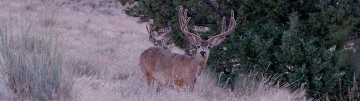
A GPS is one of the most important pieces of equipment to have when you are hunting in areas of mixed land.
I will tell you since I first started to write this page, that my friends a HUNT ONXMAPS have come out with a new product for those I Pad and I Phone users, such as my son. You are now able to get the same mapping for their usage. Hopefully you have a connection when out there, as least you can be legal when working the zones.

I tell my DIY Antelope-Pronghorn hunters that it is a must for them to have a product that gives the boundaries. Just look at a place like the famous Steen’s Mountains in Southeastern, Oregon. There are many parcels of private in the middle of BLM that is hard to tell what is what, since there is so much cross fencing. Yes you can have a paper map from the BLM, which is fine for reference, but of course you’ve had the map for 20 years or got it from a buddy who had it for 20 yards and BLM had done land swaps. Don’t get me wrong, I came from old school with paper BLM and N.F. maps.
I know from experience how important a GPS is with trespassing and these products can save a hunt. How many times do hunters get stopped on B.L.M. or even N.F. by ranchers that might have cattle rights on the public land? Telling the hunter they are trespassing! Oh! It happens a lot in the West! The Foreman of the famous Hay Creek back in the day would stop hunters on public roads going along the ranch and into B.L.M. and the National Grasslands. It is one thing to get stopped by law enforcement, but not by a private citizen on the public land!

When I help hunters find places at this point for FREE, I expect it to be quick and easy on my part. The idea of helping hunters in this hectic busy lifestyle we have to shorten the scouting time in land they know nothing about. Get waypoints to them in good hunting areas and go from there.
There is some much one can learn about a spot that they might only get to hunt a few times in a lifetime, since most special tags take so long to get. With a Garmin Colored GPS with SD Micro slot, Garmin Base Map (Computer), Hunting GPS Maps and Google Earth, you can go from Novice to Expert in a very short time prior to your outing.
Do you really want to get Coordinates and plug them into your GPS without knowing what you are looking at?
Be smart and move up in technology and you’ll find new avenues to hunt and be confident in the hunt!


